PSCC’s interactive and comprehensive web-based mapping platform is FREE to use thanks to the generous support of the Illinois Clean Energy Community Foundation and the Gaylord and Dorothy Donnelley Foundation.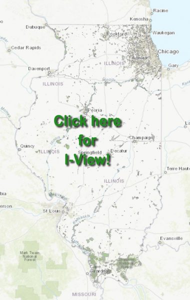
I-View is a database of protected lands, categorized in four areas:
- Public Sector (does not include municipalities)
- Private Sector
- Municipalities
- Illinois Nature Preserves
Other accessible data include Conservation Opportunity Areas, biologically significant streams, Illinois Natural Areas Inventory sites, trails, and federal and state electoral districts.
Layers can be added to view as desired and properties can be searched by site name or the full organization name.
I-View questions? Email davidholman@gmail.com and get all the answers!
Click on the image to the right to enter I-View.
NO WARRANTY
Information in this web application may contain inaccuracies or typographical errors. Information may be changed or updated without notice and is provided “as is”.
There is no guarantee or warranty, express or implied, concerning the accuracy of information contained in the product. In no event will Prairie State Conservation Coalition be liable to you or to any third party for any direct, indirect, incidental, consequential, special, or exemplary damages or lost profit resulting from any use or misuse of this information.
Information has been reproduced from original sources and should not be used in place of a survey or legal documents.
PROTECTION OF PROPRIETARY RIGHTS
Resale of any products is prohibited.
CREDITS
All products utilizing any of the information shall clearly indicate the source as I-View.